
Summary
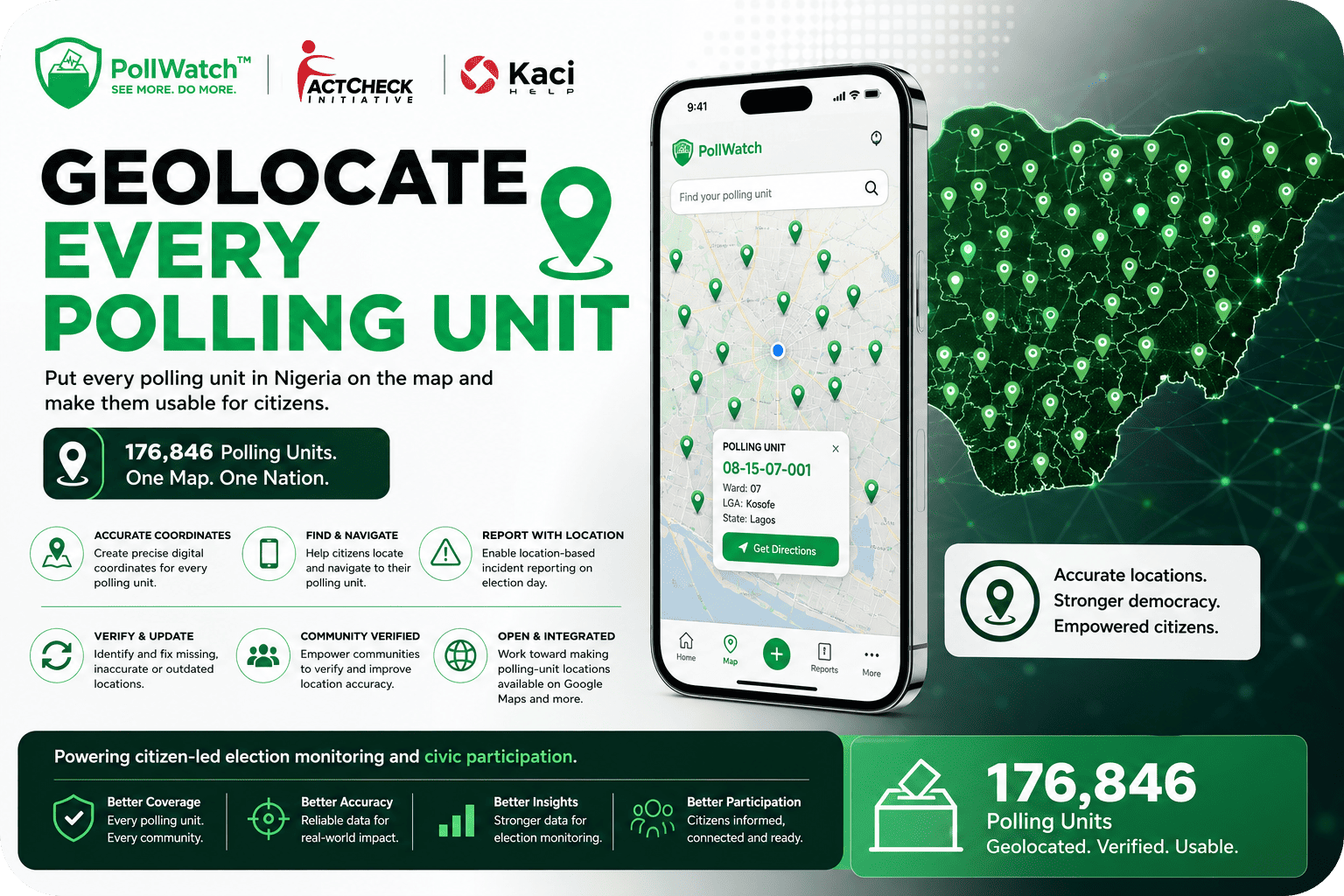
Geolocate Every Polling Unit is a nationwide mapping initiative focused on putting every polling unit in Nigeria accurately on the map and making its location information useful to citizens.
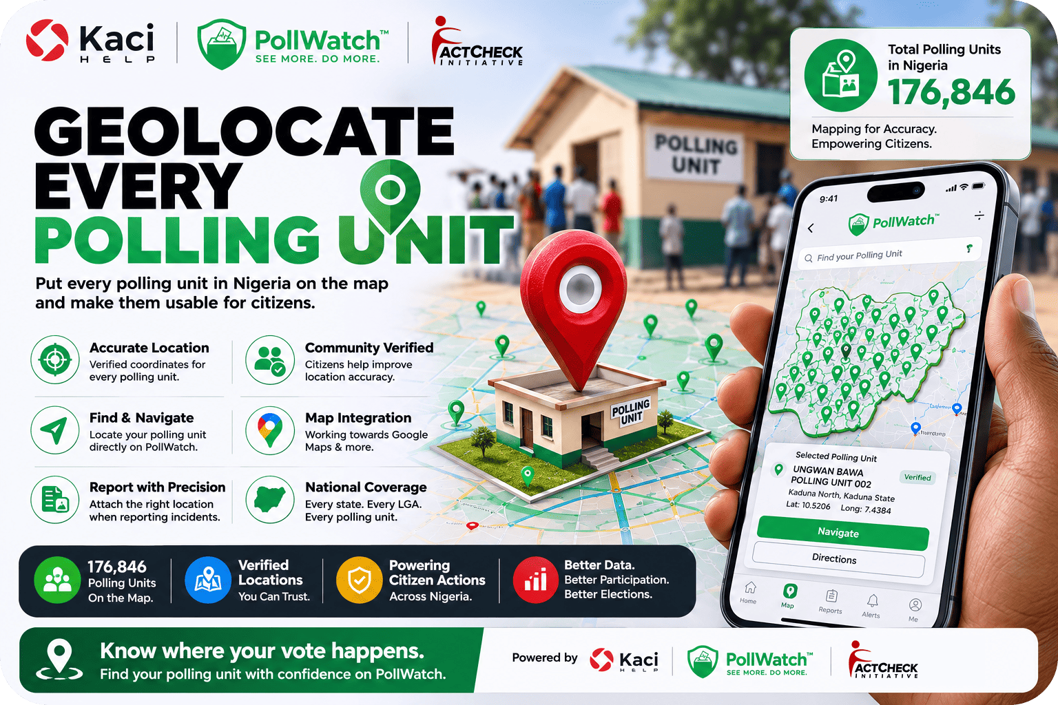
The project aims to geolocate all 176,846 polling units across Nigeria, creating accurate digital coordinates that can support navigation, civic participation, election monitoring and incident reporting. By building a reliable geographic dataset for polling units, the initiative provides an essential foundation for citizens and civic technology platforms to know exactly where polling units are located.
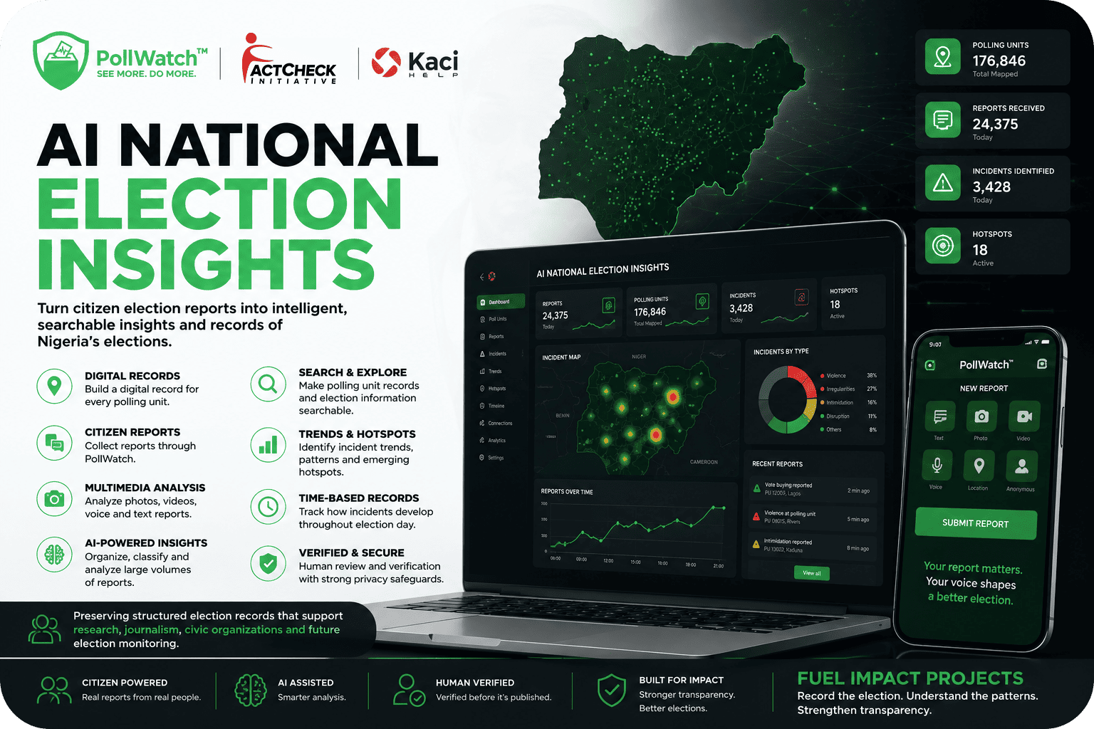
The coordinates will form a core geographic layer for PollWatch on the Kaci Help App, helping citizens locate their polling unit, navigate to it and associate election-day reports with the appropriate location.
Beyond elections, the resulting dataset can become useful infrastructure for researchers, civic organizations, journalists, public-interest technology projects and other initiatives that need accurate information about Nigeria’s polling-unit locations.
How it works
The project begins by identifying and assigning accurate geographic coordinates to every polling unit in Nigeria. Each polling unit can then have a persistent digital location record that can be used across mapping, civic and election-monitoring applications.
These coordinates will be integrated into PollWatch, allowing citizens to search for and locate their polling unit within the Kaci Help App. Location and navigation features can help citizens understand where they need to go, while geographic information can also help connect election reports to the correct polling unit.
When a citizen reports an election incident, the geographic layer can help automatically associate the report with the relevant polling unit where appropriate. This creates a stronger connection between what happened, where it happened and when it happened, supporting more accurate election records.
Because polling-unit information can change or contain inaccuracies, the project also includes processes for identifying missing, incorrect or outdated coordinates. Community verification can help improve location accuracy, while updates can be incorporated into the dataset over time.
The initiative will also work toward making polling-unit locations accessible through widely used mapping platforms such as Google Maps, helping move accurate polling-unit information beyond a single application and into tools citizens already use.
Why we chose it
Officially identifying a polling unit is one thing. Being able to find it, navigate to it and report what happens there is another.
Accurate geographic information is fundamental to meaningful election participation and monitoring. If citizens cannot easily determine where their polling unit is located, it becomes more difficult to reach the location, report incidents accurately or connect information from the field to the correct electoral location.
We chose this project because a reliable national polling-unit map can serve as foundational civic infrastructure. Once every polling unit has an accurate geographic identity, other technologies and initiatives can build on that information.
For PollWatch, this geographic layer can improve the accuracy of citizen reports, help organize election information and make it possible to understand incidents geographically. For researchers, journalists and civic organizations, it can provide a more consistent way to study election activity across locations.
The project therefore goes beyond simply placing points on a map. It is about creating a reliable geographic foundation for citizen participation, election transparency and public-interest technology in Nigeria.
The Location
The project covers Nigeria, with the goal of mapping all 176,846 polling units across the country.
Nigeria’s vast geographic size and the number of polling locations make a comprehensive and reliable polling-unit dataset particularly valuable. A national map can help connect citizens to their polling units regardless of where they live, while creating a common geographic reference for election monitoring and civic technology.
Each accurately geolocated polling unit becomes part of a growing national dataset that can be verified, updated and used across different elections. Over time, this can create a more dependable geographic record of Nigeria’s electoral infrastructure.
By connecting polling-unit coordinates, citizen navigation, incident reporting and community verification, the project aims to make every polling unit easier to find, easier to monitor and more useful as a point of civic information.
Fuel Impact Projects. Put every polling unit in Nigeria on the map and power citizen-led election monitoring.